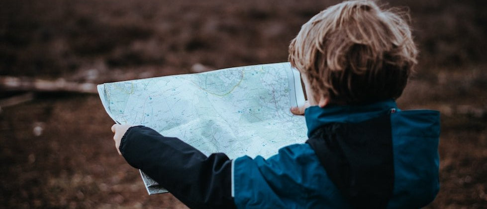
A Basic Guide to Map Reading

A map is an essential component in any keen walker’s backpack. However, with the development of smartphone technology, many people now rely on apps and GPS to guide them. While this tech has many benefits, it is unwise to rely entirely on such devices. Batteries can run out, and in the remoteness of nature, signal can become scarce. In addition, many people enjoy walking as a break from screen time. Knowing the basics of map reading is not only a useful life skill, but its analogue nature makes it a pleasurable accompaniment to a walk or hike. In such a digital world, it is understandable that people may struggle with the basics of map reading, which is why we’ve created this useful guide for beginners.
Step 1 - Understanding Symbols
At the very start of map reading is understanding the key symbols. These symbols can tell you more about the terrain, the location of streams and rivers, the type of path you are walking on and the location of amenities such as pubs and toilets. All maps feature a legend, which is an explanation of the various symbols – make sure you are familiar with the most common ones.

Step 2 - Scale
Maps come in various scales, and the detail of the map will change depending on the scale. The scale on a map shows you exactly how much the map would have to be enlarged for it to become the actual size of the land. As an example, a common scale for a walking map is 1:25,000, which means that every 1cm on the map represents 25,000cm on the ground. A basic calculation will tell you that 25,000cm equals 250m. From here, you can work out straight-line distances. If you want to work out the distance of a road or path, for example, you can use a piece of string to follow the line and measure the length of string that is used.
Step 3 – Grid References
Understanding the grid on a map can be useful for not only making it easier to scan for locations but also for helping others to pinpoint your location in an emergency, such as mountain rescue. Grid lines can be seen faintly covering the map in small, even squares. The vertical lines are called eastings, and the horizontal lines are called northings. It is essential to remember when giving a grid reference to give the easting number first, some people like to use the phrase ‘along the corridor, up the stairs’. The grid reference can be found by following the numbered grid line to the bottom left corner of the square you are in.

Step 4 – Finding Your Location
Once you are able to understand the basics of the map, you will be able to search for your location if you lose track. One of the easiest ways to trace your location on a map is by observing transit lines. This involves identifying two landscape features by eye, for example, a stream, farmhouse or wooded area. Next, identify these features on the map and draw a line that crosses through both features and follows the track on which you are walking. Continue walking along the track, and when the features align in the landscape, you will be at the point where the line crosses the path.

Step 5 – Understanding Contour Lines
By understanding how contour lines are read on a map, you can gauge the gradients of the surrounding hills and how steep the terrain is. Contour lines on a map show the increased distance above sea level in equal measures. For example, on a 1:25 000 scale map, the interval between contours is usually ten meters. The closer together the contour lines appear, the steeper the slope will be.
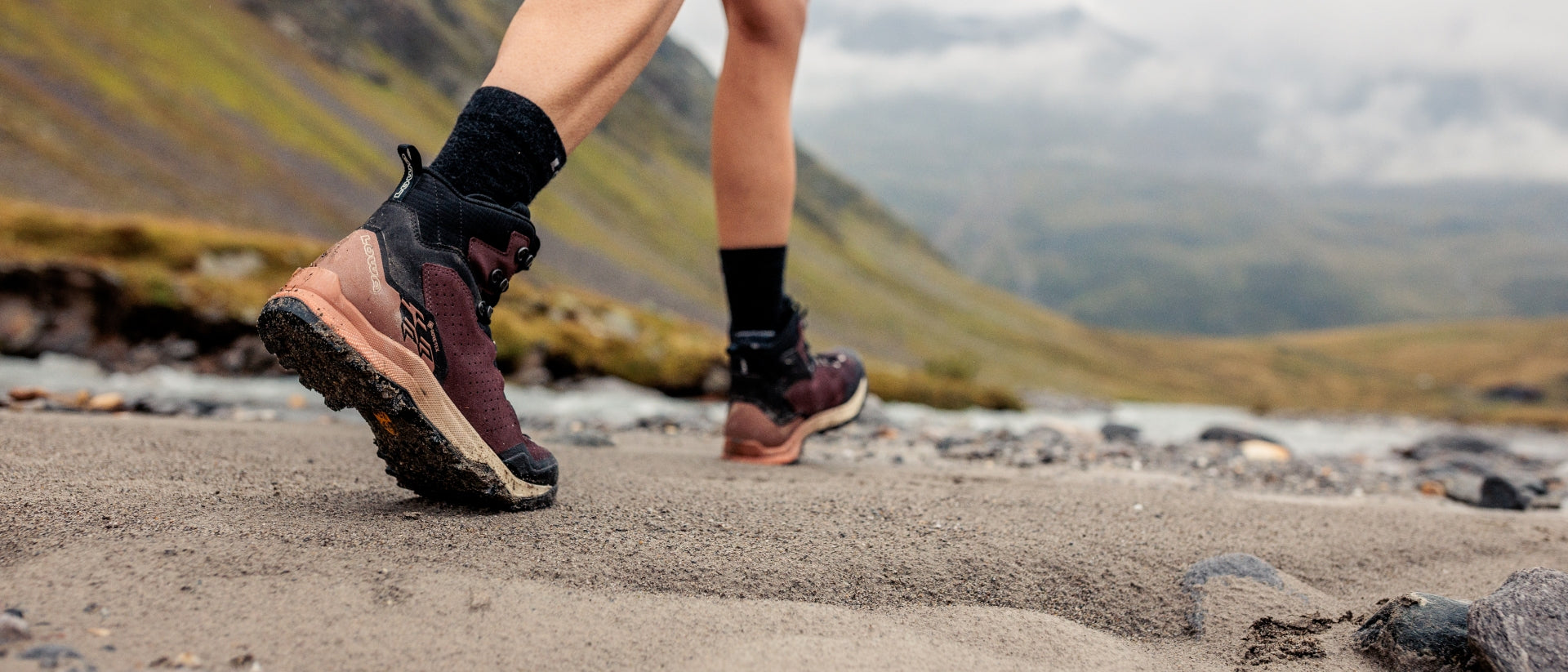
Remember that practice makes perfect! Why not head out and use this guide to try navigating one of the Best Day Hikes in England? Our lightweight hiking boots are the perfect partner for all of your walking adventures.